Title: GeoFS
Year introduced: 2018
Country of origin: France
Languages: English
Price: include premium accounts / options
GeoFS is a flight simulator with a global environment generated from satellite images and digital geographic data. You can run it for free in your web browser without anything to install, although access to higher quality aerial images require subscription. Standard (free) version provides you with global standard resolution (10 meters per pixel) satellite images.
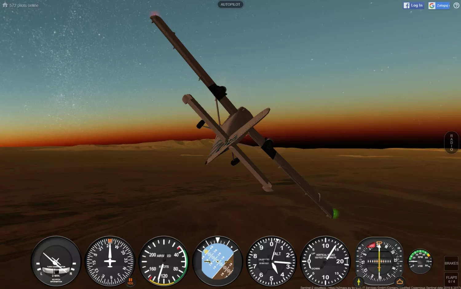
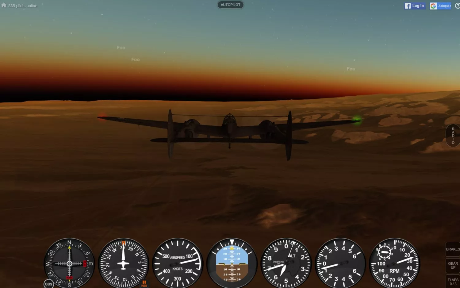
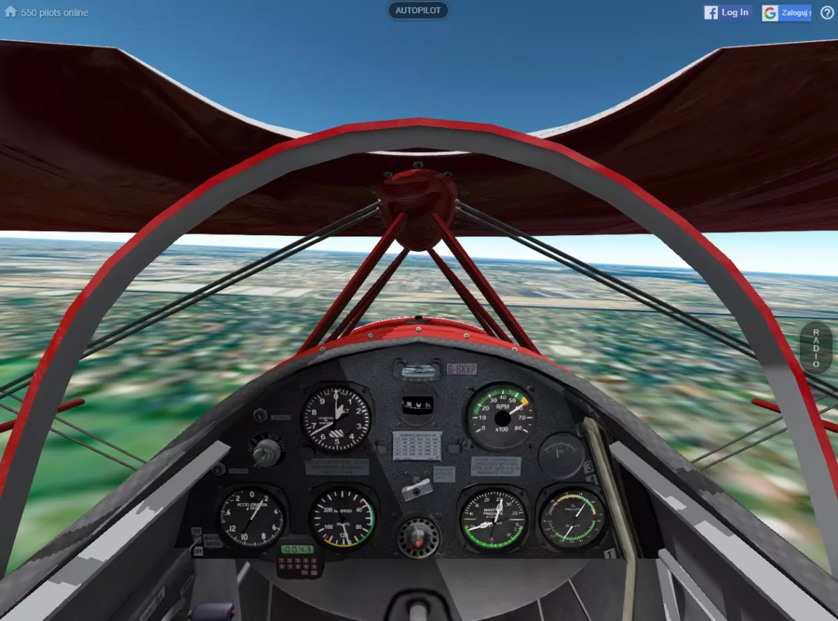
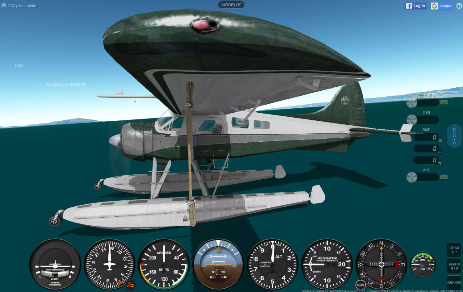
GeoFS is using Cesium, a virtual globe framework (similar to Google Earth), which provides worldwide photo-realistic landscapes. GeoFS HD is particularly suitable for VFR practice as it makes easy to spot landmarks, roads and other small details used for navigation. Day / night cycle can be set manually or naturally based on location. PAPI and runway lights are available on major runways to help with approach. The location presets offers to fly directly to places of interest, or you can just search for any location and be instantly placed at the right spot.
The map also provides everything required for navigation with air space, traffic, navaids and about 40,000 runways for take-off / approach. You can fly absolutely anywhere in the world.

Developing a good game is not only about coming up with good ideas, but also about realizing which the bad ideas are. This is not specific to just gaming world, it works with every piece of art, from ...

Every single day we all are bombarded by brand news about brand new AI tool that will somehow revolutionise the world, bring the apocalypse or will turn us all into slaves. There is just one problem ...

